
Description
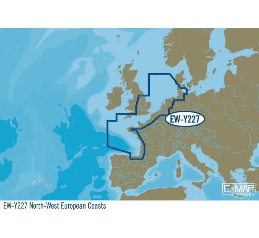
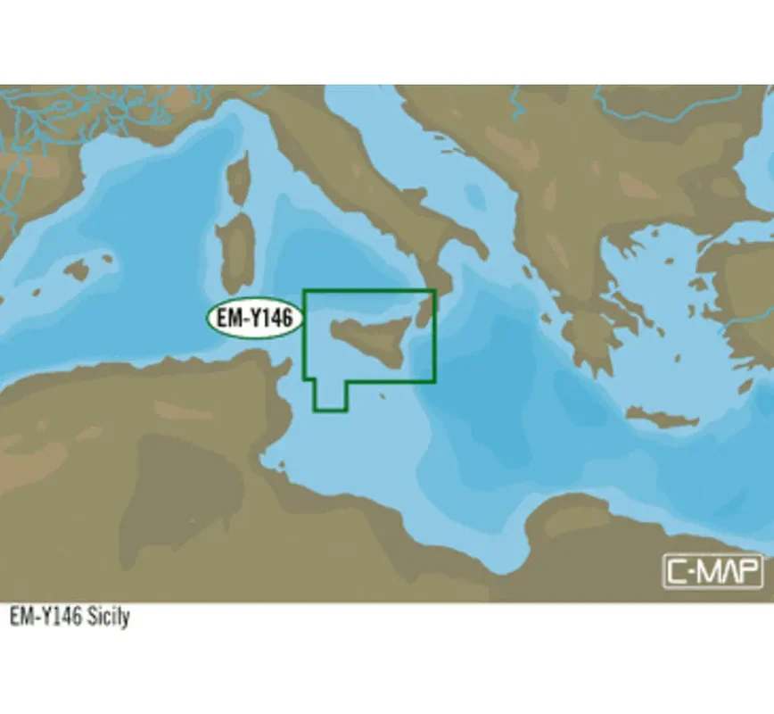
C-Map EW-Y227 Noord-West Europa
C-MAP 4D MAX-kaarten bieden accurate, up-to-date informatie, unieke functies en gespecialiseerde inhoud om elk bootavontuur te verbeteren.
- Easy Routing™ (US excluded)
- Dynamic Raster Charts
- High-Res Satellite Imagery
- High-Res Bathy Fishing Charts/Sport Fishing Data
- 3D-View
- Custom Shaded Depths and Aerial Photos
- Detailed Marina Charts
- High Resolution Bathy Data
- Dynamic Tides and Currents
Plus all of the features in MAX-N
Reviews
There are no reviews yet.